Distance: 154 km Grade: 2 (Slightly harder)
Courtesy of Katie Kerr
Description:
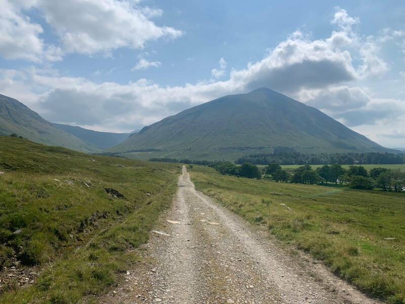
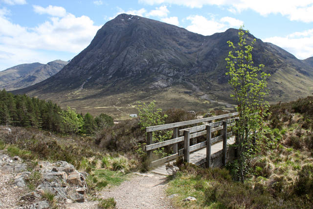
This 8-stage 151 km walk has an overall difficulty grading of 2 (Slightly harder). The West Highland Way is the most iconic of them all. From Milngavie to Fort William this trail takes you through a landscape that is ever-changing and nearly always breathtaking. After having walked the length of Loch Lomond (quite tough!) you’ll cross the bleak beauty of Rannoch Moor and head into the Highlands and Glen Coe. For much of the way, you’ll be following ancient and historic routes along Drove Roads, 18th Century Military Roads and abandoned railway tracks. As the West Highland Way is very popular you will certainly meet fellow walkers but not to worry. There will be plenty of opportunity to enjoy the peace and quiet.
Stages:
- Milngavie - Drymen 19 km (1-Easy)
- Drymen - Rowardennan 23 km (Slightly harder)
- Rowardennan - Inverarnan 22 km (Slightly harder)
- Inverarnan - Tyndrum 19 km (Slightly harder)
- Tyndrum - Inveroran 14 km (Slightly harder)
- Inveroran - Kingshouse 15,5 km (Easy)
- Kingshouse - Kinlochleven 14 km (Slightly harder)
- Kinlochleven - Fort William 24,5 km (Slightly harder)
This trail connects with the following trail(s):
John Muir Way near Strathblane
Scottish National Trail at Drymen
Rob Roy Way near Drymen
Great Trossachs Path at Inversnaid
Mary, Queen of Scots Way at Inversnaid
Loch Lomond and Cowal Way at Inversnaid
St Columba's Way at Bridge of Orchy
Famous Highland Drove Walk at Kingshouse
East Highland Way at Fort William
Cape Wrath Trail at Fort William
Stevenson Way at Kinlochleven


