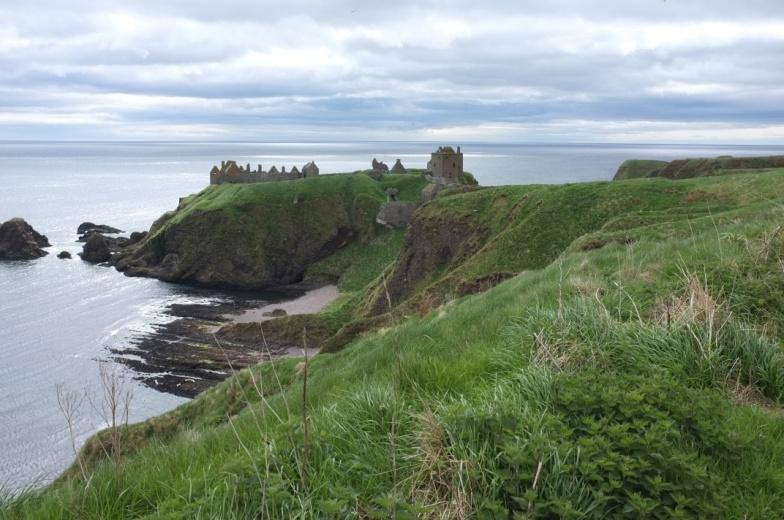
Distance: 146 km Grade: 1 (Easy)
Part of The Way of St Andrews
British Pilgimage Trust
Description:
The stretch from Aberdeen to St Andrews makes up the second leg of an extended journey that begins in Tain (Gaelic: Baile Dubhthaich, ‘Duthac’s town’), home to the shrine of St Duthac, once an important pilgrimage site and inspiration for ‘St Duthac’s Way’. This section takes about six days for walkers in good shape, leading along quiet country roads and scenic coastline, through charming, untouched villages, past ancient lava flows and old lime kilns to Arbroath. From there, you can spot the notorious Inchcape Rock, a hazard to sailors, before continuing along the sometimes steep coastal path to bustling Dundee. Crossing the shimmering Tay brings you into the Kingdom of Fife, and before long, the distant view of historic St Andrews appears. Soon, you’ll find yourself among the towering ruins of its vast cathedral, consecrated 600 years ago in the presence of Scotland’s greatest king, Robert the Bruce.
Stages:
- Aberdeen - Stonehaven 29 km (Easy)
- Stonehaven - Inverbervie 19 km (Easy)
- Inverbervie - Montrose 23 km (Easy)
- Montrose - Arbroath 24 km (Easy)
- Arbroath - Dundee 32 km (Easy)
- (7) Dundee (Tay Road Bridge) - St Andrews 29 km (Easy)
This trail connects with the following trail(s):
Deeside Way at Aberdeen
Fife Coastal Path at the Tay Road Bridge
St Columba's Way at Dundee (Tay Road Bridge)
Mary, Queen of Scots Way at St Andrews


