
Distance: 82 km Grade: 2 (Slightly harder)
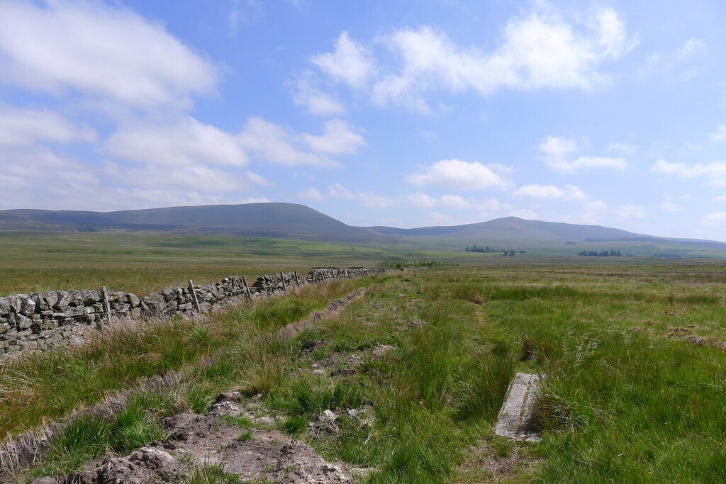
The Cross Borders Drove Road (The 'Thieves Road') leading south to Cauldstane Slap
cc-by-sa/2.0 - © Tim Heaton - geograph.org.uk/p/5856504
Description:
This trail is generally well waymarked but sometimes intersects with quite a few other local paths. This can cause confusion so it’s important to carry a map.
Winding its way along tracks and informal paths over the rolling hills and through the sheltered glens and woodland of the Tweed Valley, the Cross Borders Drove Road offers great variety in scenery, surfacing, cultural and other interest. From purple heather-cloaked grouse moor and idyllic glens where the drovers stopped for a wee dram. For almost 200 years small black cattle were driven through Cauldstane Slap on their way from Highland grazings to English markets. Robbers and reivers lurked in the heather, giving the route its sinister name The Thieves Road
Stages:
- Hawick - Middlestead 17 km (Easy)
- Middlestead - Traquair 16 km (Easy)
- Traquair - Peebles 14 km (Slightly harder)
- Peebles - West Linton 21 km (Easy)
- West Linton - Harperrig 14 km (Easy)
Trail connects with the following trail(s):
Borders Abbeys Way at Hawick
Romans and Reivers Route at Hawick
Scottish National Trail near Selkirk
Southern Upland Way near Traquair