
Distance: 58 km Grade: 2 (Slightly harder)
With Heritage Path! (GPX)
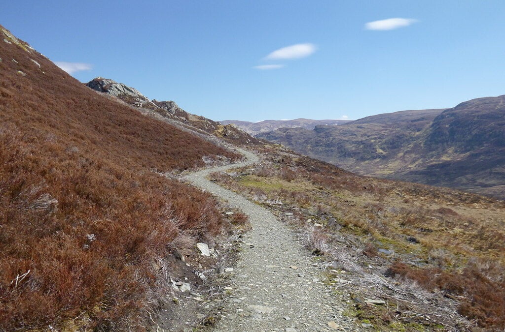
Path along Carn an t-Suidhe
cc-by-sa/2.0 - © Craig Wallace - geograph.org.uk/p/3453511
Description:
The South Loch Ness Trail is a 58 km slightly harder walk. The SLNT (together with the Great Glen Way now part of the "Loch Ness 360") follows the south side of Loch Ness from Fort Augustus to Torbreck on a mixture of minor roads, forest tracks and purpose-built trail.
Like every other trail this trail is one of a kind and takes you past many points of interest such as the Falls of Foyers, Suidhe Viewpoint and the Caledonian Canal in Fort Augustus. It has what every long-distance trail should have – spectacular views, historical interest, peace and quiet and places along the route to stop, rest and relax.
The SLNT connects in Fort Augustus with the Great Glen Way and the Scottish National Trail.
Stages:
- Fort Augustus - Foyers 24,5 km (Slightly harder)
- Foyers - Dores 22 km (Slightly harder)
- Dores - Torbreck 11 km (Slightly harder)
This trail connects with the following trail(s):
Scottish National Trail at Fort Augustus
Great Glen Way (360) at Fort Augustus